If you are thinking of repairing or extending your land, you are going to need a full topographical survey beforehand. This is required whether you’re a landowner, a contractor, or the proprietor of a company. In fact, these topographical surveys are among the very first stages in guaranteeing an accurate and smooth completion of new builds or renovation of existing ones.

Why should you use a topographical survey service?
Why should you use a topographical survey service?
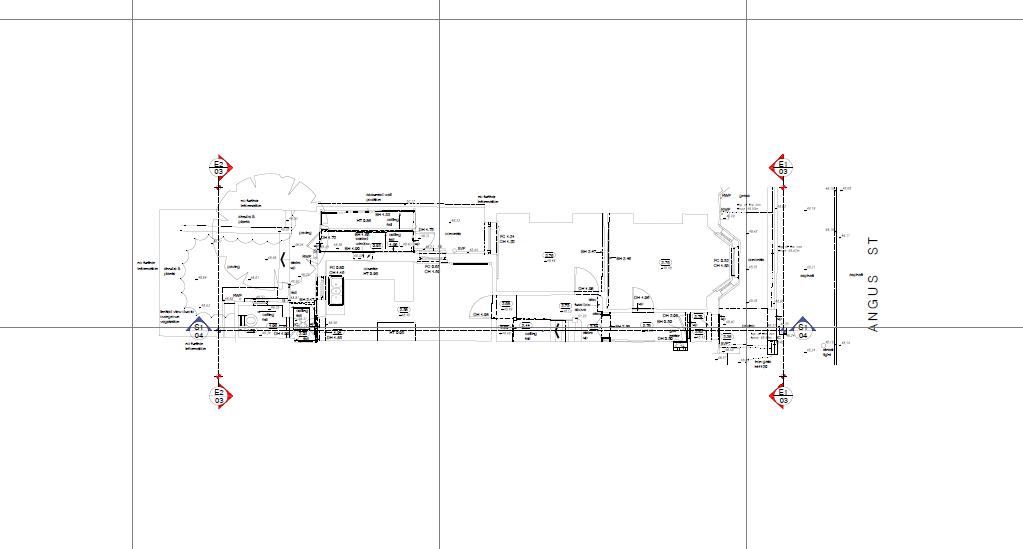
The results of these topographic surveys give a transparent image of the land or property. Such topographical surveys make use of advanced GPS, EDM, total stations and 3D laser scanning technologies. They do so to detect both natural and made-made features of a specific piece of land.
A topographic map displays several contour lines. Each of these helps the viewer become aware of the variations in the landscape. And the ones that may have occurred over a certain amount of time. So, why use a topographical survey service in Wales?
What Are the Applications of Topographical Surveys?
Professional and experienced topographical surveyors possess impressive expertise in completing topographical surveys and land assessments. For an effective assessment, you can seek their assistance. This may prevent you from incurring errors while ensuring quality.
Obtain Data regarding the Property Before Making Modifications:
With topographical surveys, one may acquire vital data on the significant characteristics in, surrounding, and beneath the property.
Help for Amendments with Prior Details about the Property:
A topographic survey may provide details concerning adjustments made to it previously. Also, you may obtain data that may not be visible from a clear view. In addition, it will capture data on the modifications that could have happened over the years. This enables engineers to design the project.
Help Make Durable Building:
Topographical surveys, which are done before the building construction, involve an understanding of the topography of a site. The data obtained from the topographic survey of the property is crucial. It helps to build a lasting building or a quality alteration.
Why is it important?
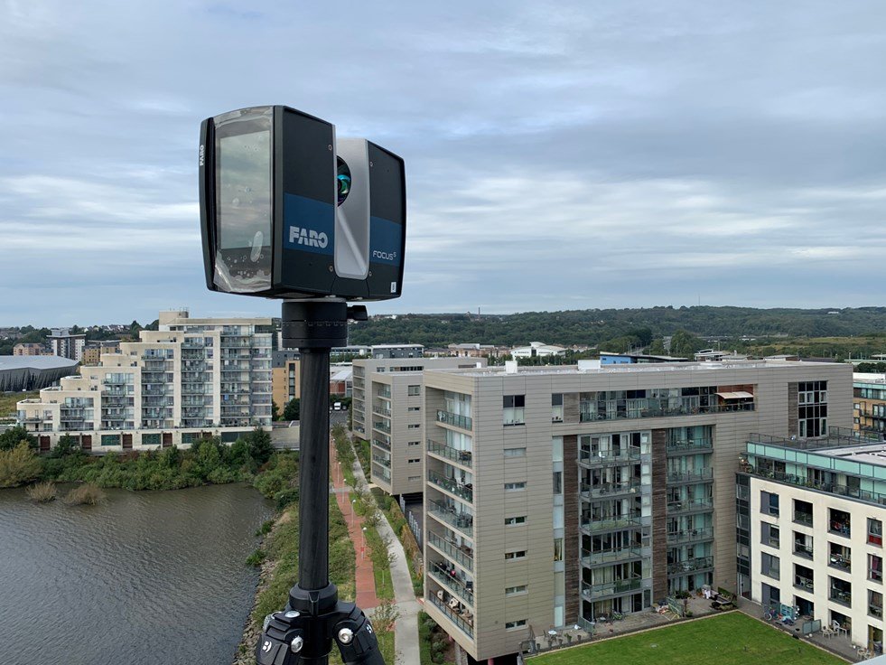
The topographical survey is primarily meant to help you envisage the structure or patch of property you wish to construct. Obtain an in-depth and precise image of the structure or land.
Build a surveying management system that will be utilised not just during the topographical survey, but also in the whole building project. Whereas the UK’s Ordnance Surveys offer a competent ‘mapping’ function. It typically somehow doesn’t give the information necessary for construction activities. Thus, a high-quality, precise topographical survey can limit or prevent future border conflicts.
The Conclusion
When beginning development on a structure or any geographical area, topographical assessments play a crucial part in identifying potential possibilities, gauging the likelihood of unforeseen challenges, and making it possible to formulate a solid plan.
Professionals must conduct an exhaustive topographic survey to make their design work well. Wale Measured Survey experts ensure that there are no errors within the data and measurements for complete land and site projects. Our professionals carry out a survey with the highest possible standard resulting in significant time and financial savings for the customer. Contact us today.
